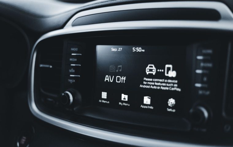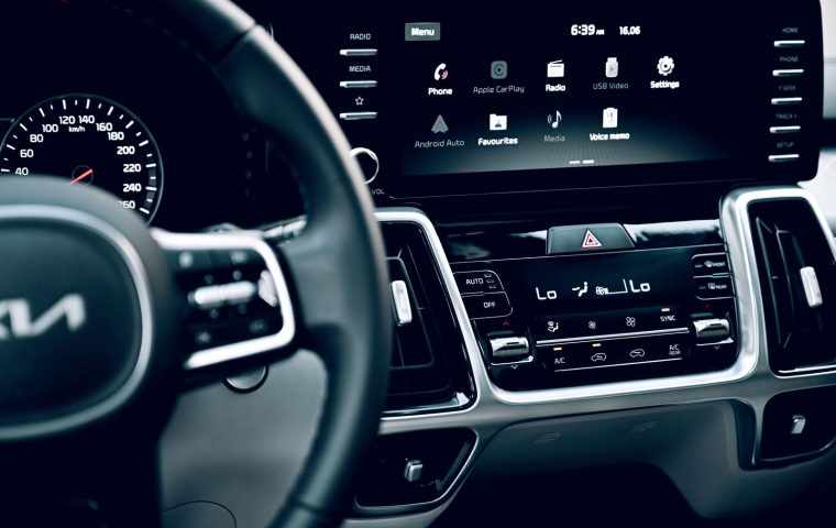

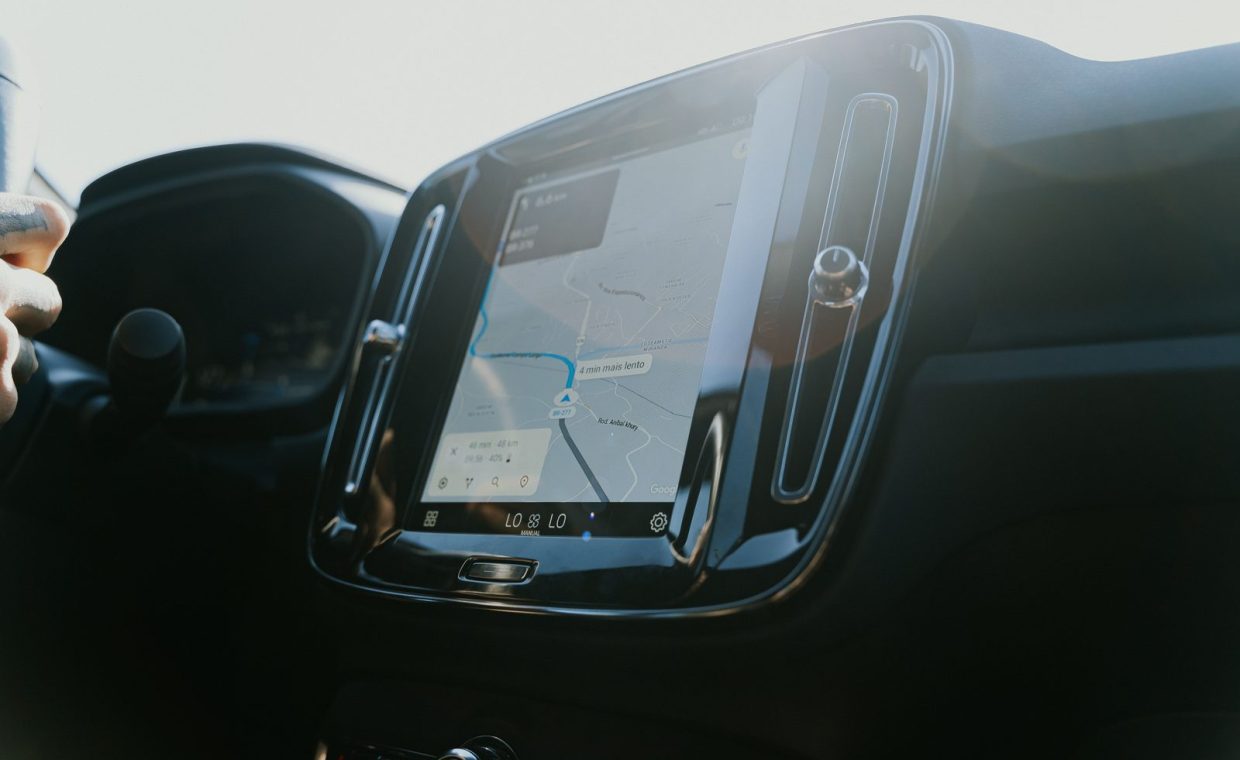
Last summer my brother drove a rented SUV from Denver to Moab, and somewhere past Grand Junction his phone dropped to a single bar of signal. The little blue dot on Google Maps froze in the middle of an empty gray rectangle. Meanwhile the SUV's built-in screen kept drawing the road, calm as anything, because it was working off maps stored on the car itself.
That moment is the whole argument in miniature. Both systems get you there most of the time. The interesting question is what happens at the edges, when the signal dies, when the route changes, or when you just want the directions to show up on your dashboard without fuss.
So let me lay out how these two actually differ, where each one quietly fails, and which one deserves your trust on a long drive.
The Two Systems, Plainly Described
Built-in navigation (people also call it embedded or factory nav) is the mapping software baked into your car's infotainment system. The maps usually live on a hard drive or flash storage inside the vehicle, and the position comes from a GPS antenna wired into the car.
Phone maps means apps like Google Maps, Apple Maps, or Waze, running on the device in your pocket. They pull most of their map data and all of their traffic info live from the internet over your cellular connection.
The split matters because it decides everything else. One system carries its world with it. The other streams the world as it goes. That single difference explains most of what follows.
Where Phone Maps Pull Ahead
Phone apps win on freshness, and it is not close. Google and Apple update their map data constantly, so a new roundabout or a rerouted off-ramp shows up within weeks. A factory system might not see that change until a dealer update that you may never bother to install.
Traffic is the bigger edge. Waze in particular reads live conditions from millions of drivers and reroutes you around a stalled truck before you can see the brake lights. Most built-in systems do get traffic data, but it tends to arrive slower and react later.
Then there is search. Typing "cheapest gas near me" or "vegan lunch open now" into a phone just works, because it is querying a living database. Factory nav search often feels like it was designed in 2014, because frequently it was.
If you lean on your phone, plan for heat. A phone mounted on the dash in direct summer sun can overheat and throttle itself, killing navigation right when you need it. A vent mount or a spot out of the sunbeam helps a lot.
Where Built-In Nav Quietly Wins
The biggest advantage is the one my brother discovered: built-in nav does not need a signal to show you the road. Its base maps are stored locally, so in a canyon, a tunnel, or the long dead zones of the Mountain West, it keeps drawing your route while the phone goes blank.
It is also better integrated with the car itself. Directions can appear in the instrument cluster right behind the wheel, or in a head-up display on the windshield, so your eyes barely leave the road. Some systems even feed the nav data to the transmission so the car downshifts before a hill or a sharp bend.
And it does not lean on your phone's battery, your data plan, or a finicky pairing. If you have ever spent ten minutes trying to get your phone to reconnect to the car in a parking lot, you already understand the appeal of a system that just turns on with the ignition.
There is a safety angle too. With the phone tucked away, you are less tempted to glance at texts or notifications mid-drive. A dash-mounted phone is a small invitation to distraction, and distraction is what your dash cam ends up recording when things go wrong.
The Honest Comparison
Here is how the two stack up across the things that actually matter on a multi-hour drive. I have kept it to the categories I find myself thinking about when I plan a long route.
| Factor | Built-In Navigation | Phone Maps |
|---|---|---|
| Works without signal | Yes, maps stored locally | Only if you preload offline maps |
| Map freshness | Stale unless updated at a dealer | Updated constantly, automatically |
| Live traffic and rerouting | Decent, often slower to react | Excellent, near real time |
| Search and points of interest | Limited, sometimes clunky | Deep, fast, conversational |
| Dashboard integration | Cluster and head-up display | CarPlay or Android Auto on center screen |
| EV charging stops | Varies, strong on newer EVs | Strong, with live charger status |
| Distraction risk | Lower, hands stay off phone | Higher if phone is unmounted |
| Cost of updates | Sometimes $80 to $200 per update | Free |
Notice that neither column is all green. That is the point. They are good at different jobs, which is why the real answer is rarely "always use this one."
The Smart Move: Use Both
Most experienced road-trippers I know do not actually pick a side. They run phone maps through CarPlay or Android Auto for the day-to-day routing, traffic, and search, and they keep the built-in nav as a backup for the dead zones.
The trick that bridges the gap is downloading offline maps before you leave. In Google Maps you can tap your profile, choose offline maps, and save the whole region you are driving through. Apple Maps now does this too. Do it on hotel WiFi the night before, and your phone keeps working even when the bars vanish.
Phone maps for the brains (traffic, search, live reroutes), built-in nav for the backbone (it never loses the road). Preload offline maps so the phone covers the gaps, and you get the strengths of both with almost none of the weaknesses.
A Note for EV Road Trips
If you are driving electric, the calculus shifts. A good EV's built-in nav plans the entire route around charging stops, preconditions the battery before you arrive, and shows which chargers are working in real time. That is genuinely better than most phone apps can manage.
The exception is plug-in hybrids, where range anxiety is softer because you have a gas engine as backup. If you are still weighing a plug-in hybrid against a full EV, know that the full EV's charging-aware navigation is one of the underrated perks of going all-electric.
Which One Wins For Whom
For the city-to-city interstate driver who never leaves cell coverage, phone maps are the easy call. The live traffic alone will save you more time over a year than the built-in system ever could.
For anyone driving through mountains, deserts, national parks, or rural stretches, the built-in nav earns its keep as the reliable backbone. Pair it with preloaded offline phone maps and you are covered everywhere.
For EV owners on a long trip, lean on the car's native navigation for charging strategy, and let the phone handle restaurant and bathroom searches along the way.
The drivers who get stranded are the ones who trust a single system completely. A phone with no signal and no offline maps, or a built-in system with three-year-old roads, can both send you down a closed route. Always have a fallback.
Phone maps win on freshness, traffic, and search. Built-in nav wins on reliability without signal, dashboard integration, and EV charging. The best road-trip setup runs both, with offline maps preloaded so the phone never goes fully dark.
Does built-in navigation cost money to keep updated?
Often yes. Many automakers charge for map updates, sometimes roughly $80 to $200 per refresh, though more brands now bundle a few years of free updates with newer cars. Phone map apps update for free, which is a real long-term advantage.
Will phone maps work with no cell service?
Only if you download offline maps first. Both Google Maps and Apple Maps let you save a region in advance, and the GPS chip in your phone still works without a signal. Save the area the night before on WiFi and you are set.
Is CarPlay or Android Auto the same as built-in navigation?
No. CarPlay and Android Auto mirror your phone's apps onto the car's center screen, so they are still phone maps under the hood and depend on your cellular connection. True built-in nav runs from maps stored inside the vehicle.
Pack both, preload your offline maps, and stop worrying about which one is "right." A road trip is no place to bet everything on a single screen. Use the phone for its smarts and the dashboard for its steadiness, and the empty gray rectangle in the canyon stops being a problem. The night before my brother's next Moab run, he spent ninety seconds saving the offline region on the hotel WiFi, and past Grand Junction the blue dot kept moving right alongside the car's built-in route. Two screens, one road, no surprises.